I searched Big Huge Labs and especially liked maps among many tools.
I can use Map Maker while I teach L2 learners English.
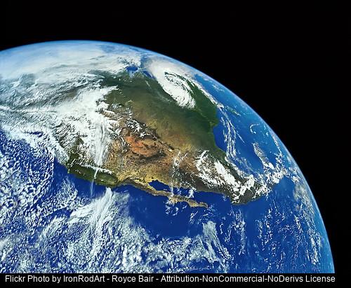
The lesson plans can be numerous. I can teach geography using map. Students can visualize the location of each state while learning the name of each state. Maybe I can start my lesson by asking several questions to students like: Do you know how many states are in U.S.A., names of all states, correct pronunciation of states, each state's characteristics, etc. I can let students write an essay relating travel: Where is your favorite place in U.S.A.? Where have you traveled in America? Where do you want to visit if you can? etc. Further, we can discuss the cultural differances between our own country and America. Later, we can expand our interest to the whole world and learn more.
To check the understanding of student's geographic knowledge, I can make a puzzle using this map. By trying to match the puzzle, they can have fun and check their knowlege.
According to the level of learners, I can create different kinds of lesson plans using map.
All these ideas sound interesting.
ReplyDeleteDr. Burgos